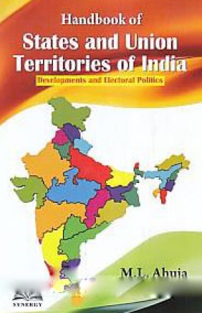
Handbook of States and Union Territories of India: Developments and Electoral Politics
This Handbook of States and Union Territories of India examines the transformation of India into 29 States and 7 union territories which paved the way for a reasonable development of every region based on parameters laid down by the Constitution of India. The book studies the setting up of Reorganisation of States which paved the way for division of states, recommendations of Justice Sarkaria and Justice M.M. Punchi Commissions,
functioning of Indian democracy and the outcome of successive general and assembly elections in a scenario created by multi-ethnic, multi-linguistic and multi-religious society and multiple political parties.
Contents: Preface. 1. Reorganisation of states and centre –state relationship. 2. Essence of Indian Democracy. 3. Andaman and Nicobar. 4. Andhra Pradesh. 5. Arunachal Pradesh. 6. Assam. 7. Bihar. 8. Chandigarh. 9. Chhattisgarh. 10. Dadra and Nagar Haveli. 11. Daman and Diu. 12. National capital territory of Delhi. 13. Goa. 14. Gujarat. 15. Haryana. 16. Himachal Pradesh. 17. Jammu and Kashmir. 18. Jharkhand. 19. Karnataka. 20. Kerala. 21. Lakshadweep. 22. Madhya Pradesh. 23. Maharashtra. 24. Manipur. 25. Meghalaya. 26. Mizoram. 27. Nagaland. 28. Odisha. 29. Puducherry. 30. Punjab. 31. Rajasthan. 32. Sikkim. 33. Tamil Nadu. 34. Telangana. 35. Tripura. 36. Uttar Pradesh. 37. Uttarakhand. 38. West Bengal. Index.
Get it now and save 10%
BECOME A MEMBER




Bibliographic information