
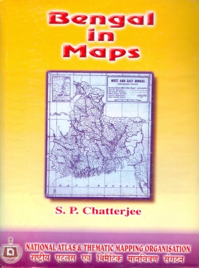
Bengal in Maps: A Geographical Analysis of Resource Distribution in West Bengal and Eastern Pakistan
This atlas is not a collection of locational maps of the conventional type. It contains a number of specialized maps, based on field and library work, carried out by the author for a number of years. The observations and statistics were then plotted on large scale maps, mainly for the purpose of teaching the geography of Bengal to University post-graduate students. Some of the maps were subsequently exhibited in a geographical exhibition, opened in Calcutta by Professor L. Dudley Stamp of London University in January, 1947. It was then suggested that the maps be printed in the form of an atlas, and the revision of the maps from the production point of view was taken up soon after. In the meantime came the movement for the partition of Bengal, when the intelligentsia of India in general and Bengal in particular, became almost overnight map-conscious, and maps of every kind were in great demand. A special map was prepared in the Department of Geography of Calcutta University under the direction of the author, indicating the probable boundary line between West and East Bengal, if Bengal were to be partitioned. The publication of that map aroused further interest in cartographical representations, and it was then felt, and rightly so, that a set of maps depicting the entire field of the geography of Bengal might put the members of the Bengal Boundary Commission on the right track. Had the maps been in print before the final award of Sir Cyril Radcliffe, there would perhaps have been a more reasonable partition of Bengal to the satisfaction of the two major communities of the province, Hindus and Muslims. Most of the maps, as presented in the atlas, have the Radcliffe line marked on them, which can be seen to run across important roads and railways, thereby disrupting the existing transport systems and breaking up areas of regional unity. It is hoped that some of the maps, incorporated in the atlas, may be of use in connection with planning of national development, rehabilitation and reconstruction. In any case, the distributional patterns displayed by the maps will be of interest to statisticians and economists. The atlas may serve another useful purpose. Since it is a sort of 'stock-taking' of the national resources of the province at the time the British withdrew from India, and Bengal was partitioned, it may have some value as a historical document in map form for the comparison of the future economy of both West Bengal and Eastern Pakistan (East Bengal) with their past common tradition. The sources of information are noted in the text accompanying the maps. The agricultural maps, though primarily based on the statistics collected and published by the Agricultural Department of Bengal, are revised in the light of the findings of the land utilisation survey work carried out by the author in certain districts of Bengal. Agricultural statistics relating to the Sylhet district, which now forms part of Eastern Pakistan, could not be secured, hence the old name 'East Bengal' has been retained in the text.
Get it now and save 10%
BECOME A MEMBER


Bibliographic information
Prithvish Nag
Tags