Logo

0
Your cart is empty empty bag

Free Worldwide Delivery on orders over $50

Х

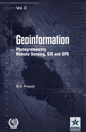
Geoinformation Photogrammetry Remote Sensing, GIS and SPS (In 3 Volumes)

 
N.V. Prasad (Author)
Synopsis

Global mapping has recently undergone a transition from discipline oriented technologies, such as geodesy, surveying, photogrammetry and cartography into a methodology oriented integrated discipline of “Geoinformation” based on GPS, remote sensing, digital photography for data acquisition and GIS for data manipulation and data output. Interest in Geoinformation has tremendously grown in recent years in many different ways. This book attempts to present the required basic background for Remote Sensing, Photogrammetry, GIS and GPS in the new Geoinformation concept in which the different methodologies must be combined. The fundamentals of these are described in detail, with an emphasis on global, regional and local applications. This book also provides a comprehensive look at the challenges and discoveries made in this emerging field. This book is designed to meet the needs of a professional audience composed of both practitioners and researchers. The concepts and applications of Geoinformation presented in this book will be of benefit to decision makers across a wide range of fields including those working in environmental management, urban planning, tourism industry, in the emergency services, public health and epidemiology, crime mapping, market analysis and

e-commerce, or mineral exploration, among many others. This book is also suitable as a reference text for post-graduate/graduate-level teachers and students in Geology, Geoengineering, Forestry, Environmental Science, Geography, Remote Sensing and all engineering fields. This book is the companion for everyone who desires a rich understanding of how Geoinformation is used in the real world.

Read more
269.10 242.19 $ 299.00 $
Free delivery Wolrdwidе in 10-18 days Ships in 1-2 days from New Delhi Membership for 1 Year $35.00
Get it now and save 10%
Members SAVE 10% every day
BECOME A MEMBER
About the author

N.V. Prasad

Dr. N.V. Prasad, M.Tech., M.Sc., M.Ed., LLB, Ph.D., is an Associate Professor of GIS and Remote Sensing and working/worked at several Universities in India and abroad and has been teaching Geoinformatics-related courses since 2000. He was the recipient of several distinguished achievement awards of academic and research from various renowned organizations and Institutions. He received E.P. Odum Gold Medal, 2009 (The International Society for Ecological Communication); Leading Scientists of the World (Silver Medal) 2011 and 2013 (IBC, Cambridge, England); Life time achievement award, 2011 (WCASC, Great Britain); and Rashtriya Gaurav Award 2011 (IIFS, New Delhi) for his commendable academic and research activities in the field of science. He is the author of three books, i.e., Remote Sensing of Mangrove Wetlands (ISBN: 978-3-639-35843-8), GIS and Remote Sensing for Sustainable Forest Management (ISBN: 978-3-639-36769-0), and Ecology of Estuarine Mangrove Zooplankton (ISBN: 978-3-639-35303-7). He published about 50 research papers in National and International Journals and presented papers of 12 national and 5 international conferences held at India and abroad. He is the Assistant Editor of Indian Journal of Environment and Ecoplanning and previously worked as Editorial member of National Journal of Life Science. He is also freelance Journalist/writer and published more than 200 article in various daily newspapers and magazines in the field of Science, Environment, History and Current issues.

Read more
Write a review
Reviews in total
 

Bibliographic information

Title Geoinformation Photogrammetry Remote Sensing, GIS and SPS (In 3 Volumes)
Author N.V. Prasad
Format Hardcover
Date published: 23.03.2015
Edition 1st. ed.
Language: English
isbn 9789351246183
length xiv+933p., Figures; Tables; Bibliography; Index; 25cm.