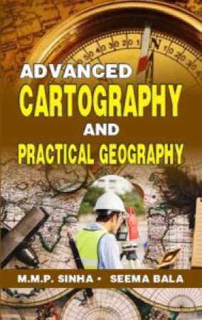
Advanced Cartography and Practical Geography
The book, ‘Advanced Cartography and Practical Geography’ in which all aspects of specially Cartography and Practical Geography are written in details with their critical approach. In this book intermediate to post graduate level syllabus cover nearly for all university in India and abroad. For inter class only identification of landforms, cross section in contour maps are not discussed in details. The book is divided into two parts– Part I and Part II. In Part II details data and literatures concerning rocks and minerals of last chapter are provided by Bhabya Sahay and photographs concerning moon mission and information concerning development of space satellite in India and the world are provided by Shreyash Sahay. Most of the geological maps and geological cross sections are the examples of class work of U.G. and P.G. levels of both the authors. Map projection, Surveying, Diagrams, Cartograms and differences between two are critically discussed. Scales their types and their applications are also discussed critically specially in map projection and diagrams and cartograms. GIS, Remote sensing, Satellite, GPS and Space satellite are also discussed in simple way. In Part I Advanced Cartography concerning old syllabus is discussed in details which includes astronomical terms, shape and size of the earth. Type of times, ET., determination of latitude with the help of Pole Star and with the help of meridian altitude of star, construction of Sun dials, determination of Azimuth of a place, determination of distances and directions between two places of the world. Spherical, Triangle, Construction of maps for printing, Format of map. To know the format of maps is very important aspect of the students specially for research students. In this chapter places of Heading Scale, Index and North line in the map are put, which are discussed in details critically. Which place in the map is suitable for writing Heading, Scale, North Line, Index etc. must be put in the map so that map may be attractive to look at. In what condition North line is required and where should be marked on the map is written logically. Methods of calculating area of many type of map, Enlargement and Reduction of map etc. are discussed in this book. Student should follow this method so that maps may look attractive and clear.
Get it now and save 10%
BECOME A MEMBER



Bibliographic information
Dr. Seema Bala