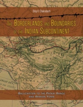
The Borderlands and Boundaries of The Indian Subcontinent: Baluchistan to The Patkai Range and Arakan Yoma
This volume has sought to examine the basic elements of geographical, historical, economic and religious interactions between the accepted outer boundary line of the Indian subcontinent and the major geographical zones which lie outside it. The various boundary lines, which were drawn from time to time in the late nineteenth and early twentieth centuries to define the sub-continent in relation to its overland neighbours, were the products of the contemporary political circumstances and the consensus between the negotiating governments, but behind the apparent precision of these boundary lines lies hidden an interaction zone of what we may call 'borderlands', stretching from Baluchistan at one point and the Arakan Yoma hills at another.
The character of these borderlands varies from one geographical sector to another, depending on a host of circumstances such as their physical geography both inside and outside the boundary line they follow, the historical circumstances which have developed across the borders, and the trading and religious networks which have been woven across them. An awareness or examination of these issues will help us to geopolitically appreciate how the subcontinent has figured in the historical and cultural world of the Asian landmass.
The maritime aspects of this relationship are increasingly becoming matters of historical discussion under the garb of investigating the relationships between different participants in the trade of the Indian Ocean and the related world. As far as the overland links are concerned, this relationship has not yet strongly emerged as a field of historical-geographical study. It is far more than being a case of the study of geo-political factors which change both with technology and political circumstances. It is basically a question of feeling the historical pulse of a vast, diverse and yet in a sense interlinked arena. An understanding of these links may also help us to look critically at many general premises regarding the geography and history of the subcontinent, premises which have regrettably persisted for long without close examinations of the concerned ground realities. On a different level, the volume also offers a comprehensive view of the civilizational impact of the subcontinent across its overland limits.
Contents: Preface. Introduction. Part I: Across The Baluchi Hills, The Hindukush and the Karakoram: Central Asia, Iran, Afghanistan, Baluchistan and the Uplands from Peshawar to the Pamirs. 1. The Academic Context: The General Geographical and Historical Setting of Central Asia, Iran and Afghanistan. 2. The Geographical and Historical Perspectives of Central Asia. 3. The Geographical and Historical Perspectives of Iran, Afghanistan, Baluchistan and the Uplands from Peshawar to the Pamir Plateau, along with a note on the concerned political boundaries. 4. Buddhism in Central Asia. 5. Indians as Traders in Central Asia. Part II: Ladakh to Arunachal Pradesh. 6. Tibet in Relation to India from Ladakh to Arunachal Pradesh and the Issue of the Boundaries Including the MacMahon Line. Part III: The Border with Myanmar. 7. Across the Patkai Range and Arakan Yoma: Myanmar. Part IV. Summary and Discussion. 8. Summary and Discussion. References. Index.
Get it now and save 10%
BECOME A MEMBER




Bibliographic information