
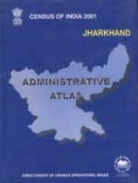
Census of India 2001: Jharkhand Administrative Atlas
The present volume on administrative Atlas attempts to provide jurisdictional maps in respect of the administrative units of Jharkand as existed at the time of various censuses spread over 1951-2001. These maps show the evolution of the state upto the present administrative set up upto 2001. There are six maps showing the administrative divisions of Jharkand as they existed from 1951 to 2001 at different censuses. In the district maps all the relevant C.D. Blocks have been shown with respective boundaries and administrative headquarters. In the maps of C.D. Block shown separately in this Atlas, the administrative headquarters, name and location code of villages/census towns, main rivers, roads, railway lines, urban centers and other important physical features etc have also been shown. Nine maps have been included representing the different demographic characteristics as per 2001 census. This Atlas is prepared inviolably with a superb skill and planning. It is only because of full co-operation of the officers and the staff that the volume has been able to see the light of the day.
Get it now and save 10%
BECOME A MEMBER


Bibliographic information