
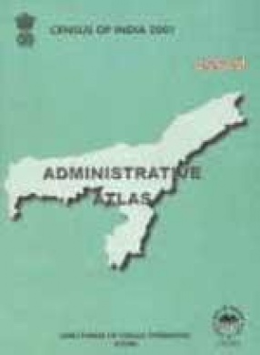
Census of India 2001: Assam Administrative Atlas
This volume is comprised of two parts. The part I contains maps for the period spreading over 1951 to 2001 together with a few thematic maps dealing with particular subjects. The administrative maps depict the changes, if any, in administrative jurisdiction of the state, decadewise - the territories under different political and administrative control - appropriately identified and distinguished. Analytical notes are attached to each map mentioning the administrative divisions at the time of respective censuses. The Part II consists of maps of Assam at 2001 census where the maps of the district and the lowest administrative units, i.e., Revenue Circles are incorporated. List of villages with permanent location code number suffixed. A map showing changes in administrative boundaries, 1991-2001 has also been given for value addition.
Get it now and save 10%
BECOME A MEMBER


Bibliographic information